Get Movin’ with St Mary’s - Routes & Photo Points
Routes & Photo Points
Route 1: To St Joseph’s (approx. 4km)
Route 2: To Holy Cross Church (approx. 7km)
Route 3: To St Francis of Assisi (approx. 8km)
Route 4: To St Ignatius (approx. 8.8km)
Route 5: To Blessed Sacrament (approx. 9.5km)
Reminder: Remember to snap a photo with your Catholic200SG souvenir to be eligible to take part in any of the prize categories!
Route 1 - To St Joseph’s Church (Bukit Timah)
Approximate Route Distance: 4km | 50min Walk
Photo Point #1
Piazza at St Mary of the Angels
A central outdoor space and focal point of many of our community activities.
Photo Point #2
Former Ford Factory
351 Upper Bukit Timah Road
Ford’s first motorcar assembly plant in Southeast Asia which currently houses exhibits on World War II.
Photo Point #3
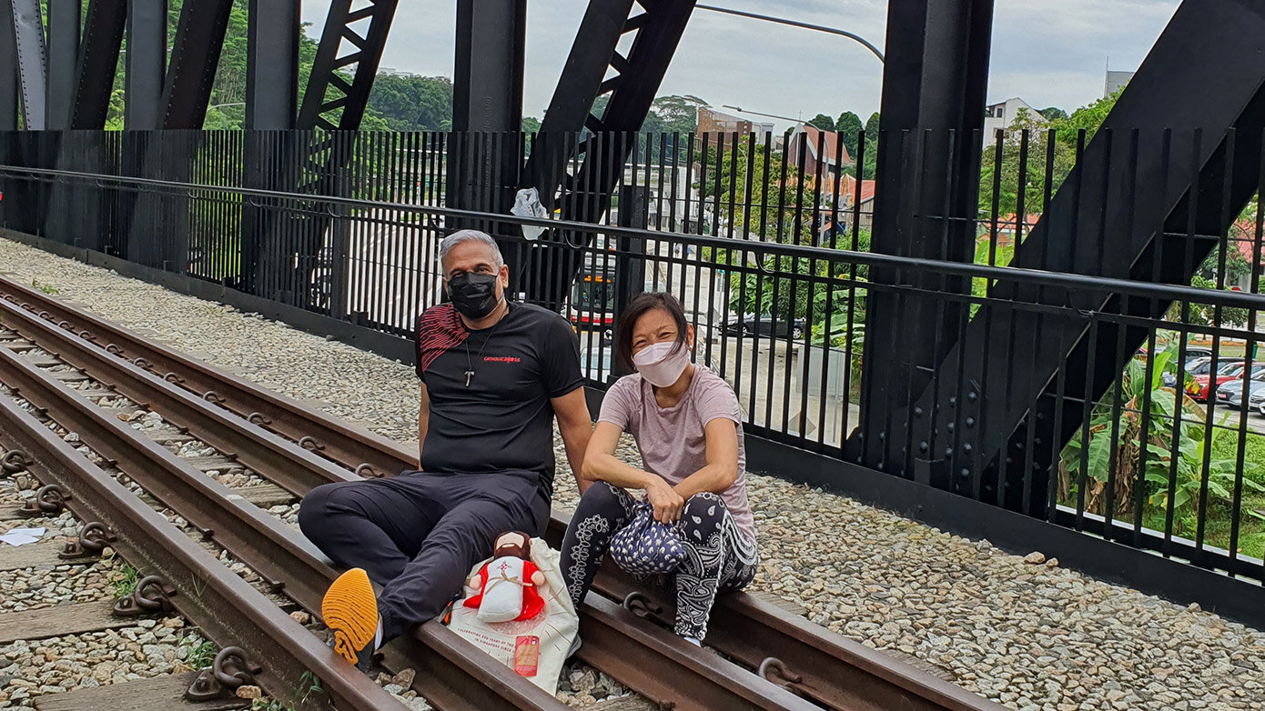
Rail Mall Truss Bridge
One of two bridges that trains used to rumble across from Tanjong Pagar station to the Causeway at Woodlands.
Photo Point #4
CHIJ (Our Lady Queen of Peace)
4 Chestnut Drive
One of the 11 schools belonging to the congregation of the Infant Jesus. Located in the premises is the Greccio Friary, home to our friars in formation & other solemn-professed friars.
Route 2 - To Church of the Holy Cross (Clementi)
Approximate Route Distance: 7km | 1h 30min Walk
Photo Point #1
Garden of Peace at St Mary of the Angels
A place for quiet reflection at the garden shrine of Our Lady.
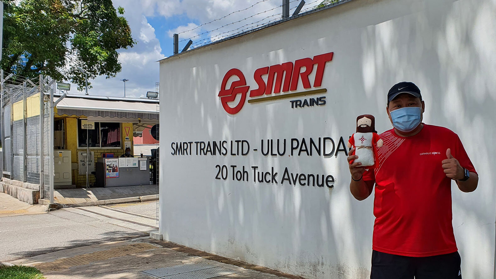
Photo Point REMOVED
Due to security reasons, public is not allowed to take photos at Ulu Pandan Depot. Please Skip this photo point.
Photo Point #3
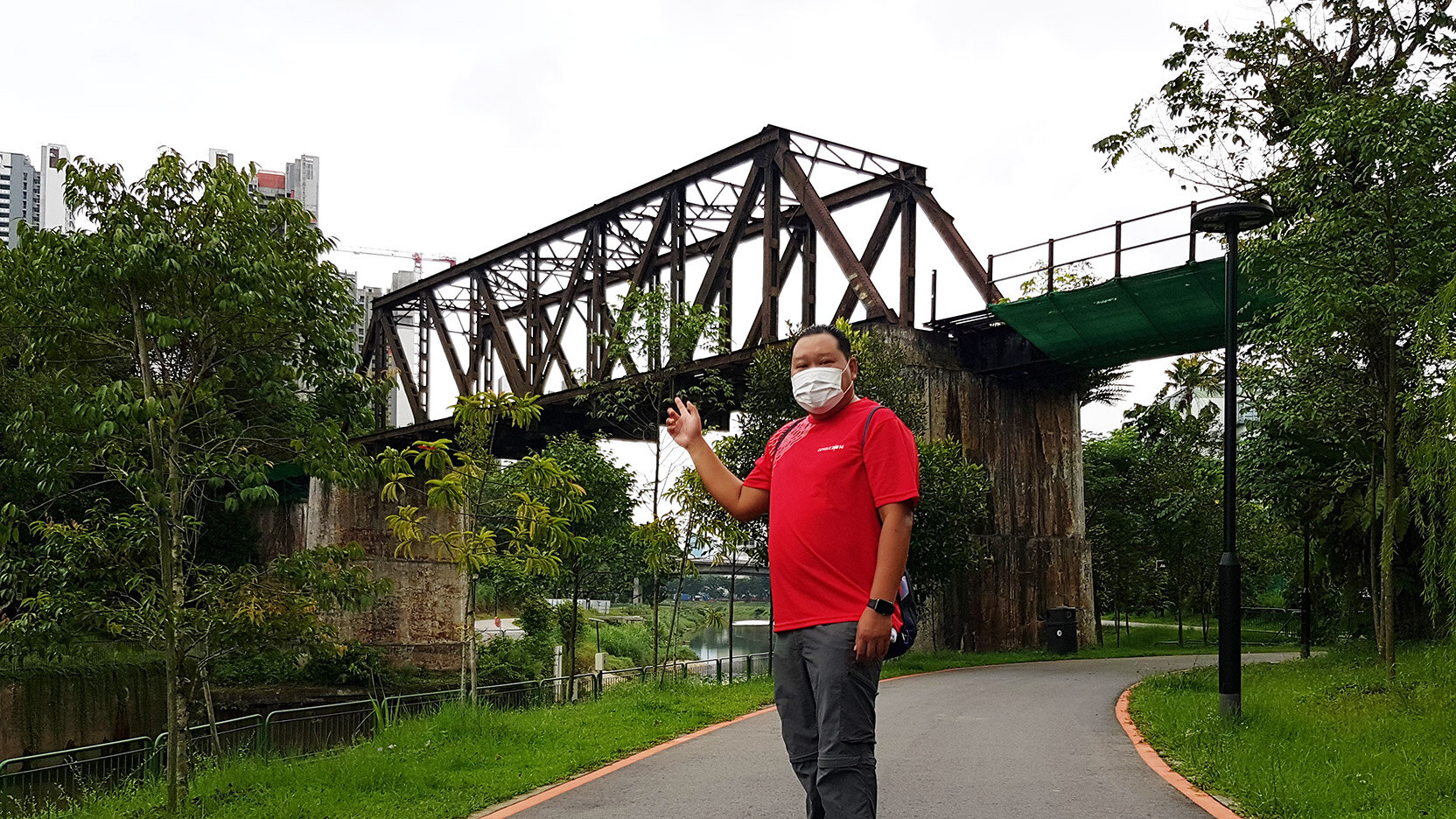
Sunset Way Railway Bridge
One of the few remaining exposed parts of the Jurong Railway Line.
Route 3 - To Church of St Francis of Assisi (Jurong West)
Approximate Route Distance: 8km | 1hr 40min Walk
Route 4 - To Church of St Ignatius (Farrer Road)
Approximate Route Distance: 8.8km | 1hr 50min Walk
Route 5 - To Blessed Sacrament Church (Queenstown)
Approximate Route Distance: 9.5km | 2hr Walk
Photo Point #2
Bukit Timah Food Centre
Know as “7th mile” in the olden days, these names are remnants of an old address system which used milestones as a way to identify places
Photo Point #3
Old Bukit Timah Station
The Singapore to Bukit Timah section of the Singapore-Kranji Railway
Photo Point #4
Former Malayan Railways
The 2nd station of the Malayan Railways in Queenstown located at Tanglin Halt Industrial Estate.


